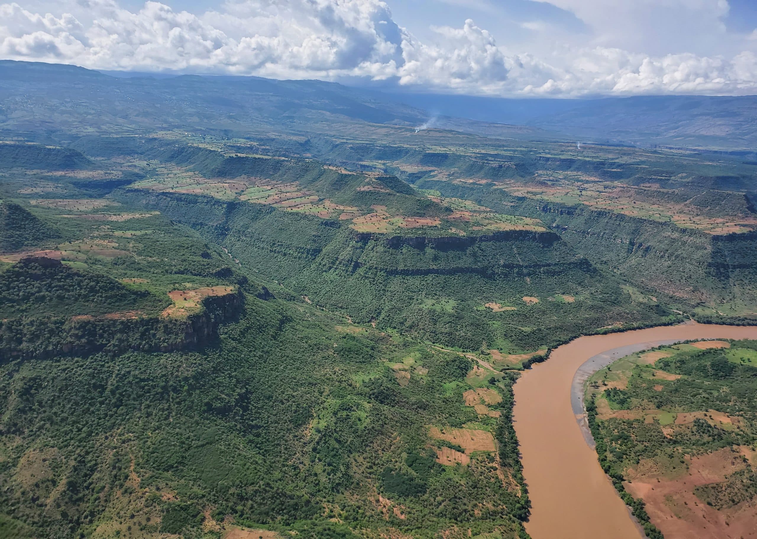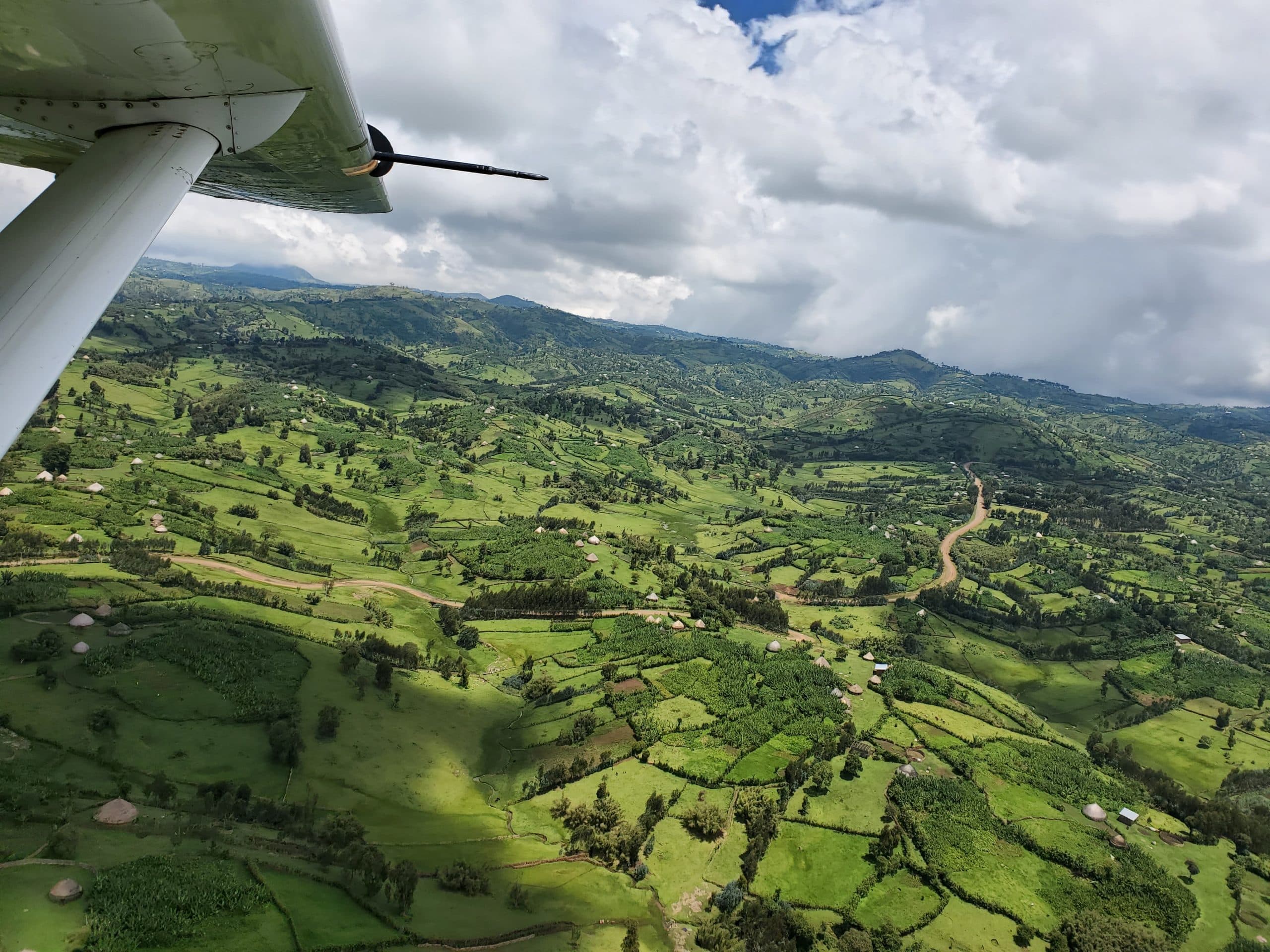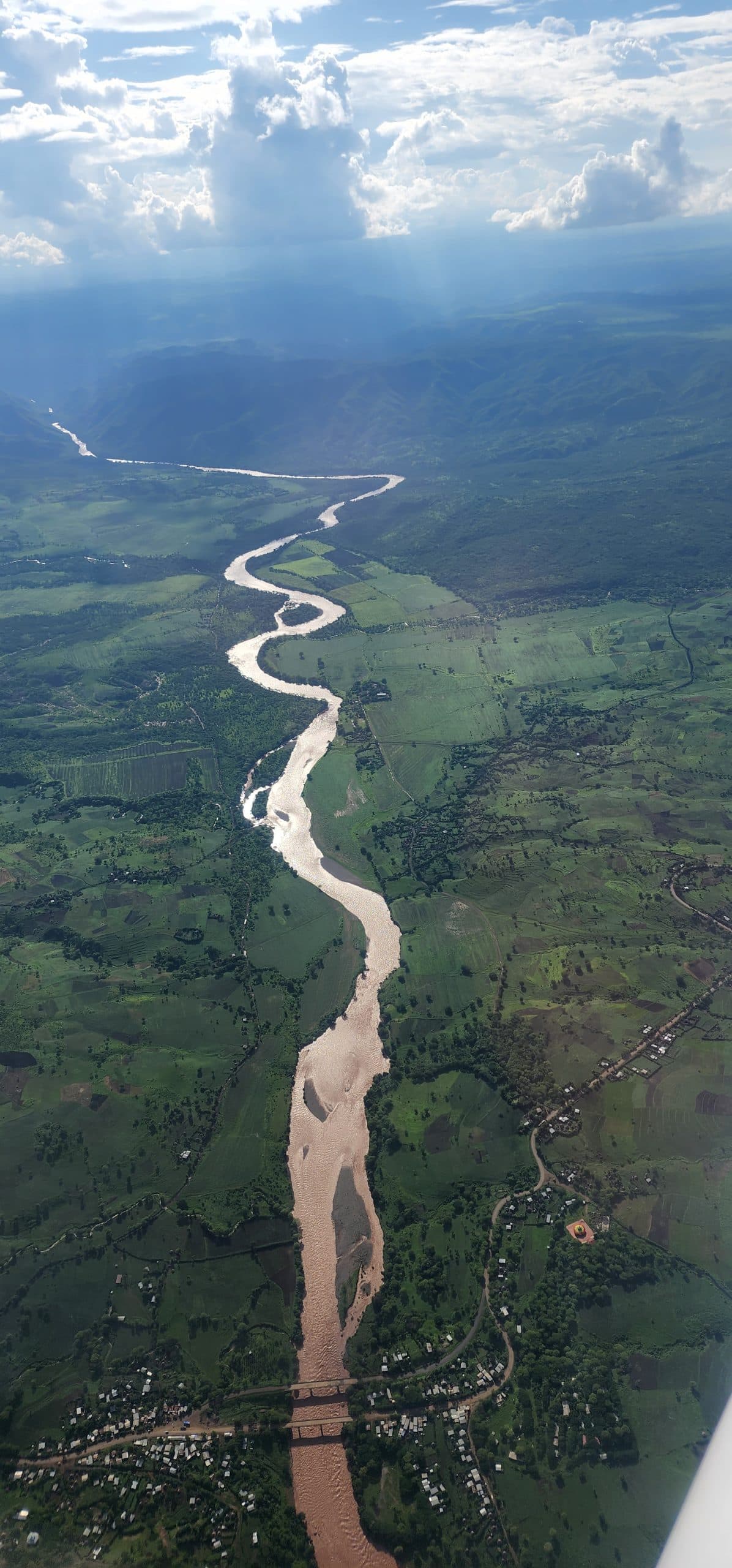
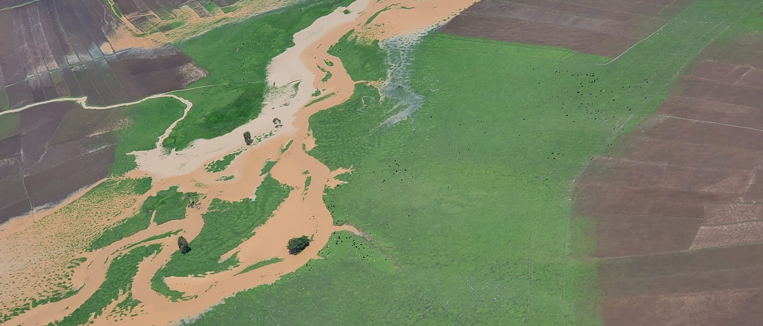
Aerial Survey & Photography
Supporting Ethiopia's agricultural sector growth by identifying natural resources including minerals, vegetation, and wildlife through advanced aerial survey technology.
Why Choose Us
Advanced Technology
State-of-the-art aerial survey equipment and imaging technology for precise data collection.
Support for Key Sectors
Serving agriculture, mining, environmental conservation, and infrastructure development sectors.
Comprehensive Coverage
Covering vast and remote areas efficiently, delivering results that ground-based surveys cannot match.
Gallery